Dawn breaks, I am alone
I’m awake, eyes unopened
-Three Fish
The short answer is YES, if you choose to hike uphill and avoid anything that involves Yosemite Falls, the John Muir Trail, or The Mist Trail. So I did not have any problem whatsoever securing a permit for the Pohono Trail, which is ironic because the trailhead is literally in one of the most visited and photographed areas in the entire park, Tunnel View. Directly across the street from that iconic viewpoint is the beginning of this tough trail. Your first steps involve climbing 15 stone steps, and once you get to the top of that, the climbing does not stop for about five miles, in the process, gaining 2700 vertical feet.
I first stopped off at the ranger station to check in with the rangers and pull my permit. The ranger told me I was more likely to see bears than humans as not a lot of people are climbing to Stanford Point right now and bears are very active up there. I then looked over the rangers shoulder to the weather board. That’s all I needed to see, “Bluebird Day.”

I headed over to the Yosemite Village Store, picked up a turkey sandwich for the trail and finalized packing my pack. I drove over to Tunnel View, parked my car, clipped in the backpack and soon I was climbing those stairs. The weather was warm, and when I broke free of forest, was almost hot. Up I went, and soon I was crossing the old Wawona Road. It was built in 1875 and was the primary route from Wawona to Yosemite. I stopped at the road and admired all the travelers who entered Yosemite from this route 150 years ago. The road was paved at one time but today, it’s buried under leaves and fallen trees. After a quick break, I spoke to a couple backpackers who spent the night just above here at Inspiration Point. He was from Oregon and she was from France. That’s what is so cool about Yosemite. Hikers come from all over the world.
Soon enough I was passing Inspiriation Point. I was told it was “overrated” and the view was similar to Tunnel Point. That trail went right, I went left and kept climbing. Little did I know this would be the last human contact I would have for the next 24 hours. Soon enough the trails switchbacks gave way to long sustained climbing. A climb that veered southwest, wrapped around the crest of Yosemite Valley and continued to climb eastbound. The pitch was at times insanely steep and when I would gain that crest I would be greeted with a longer stretch that went even steeper up. Now I know why there was no traffic on the trail! After a couple hours I reached Artist Creek, where I took off my backpack, sat down and filtered 2 more liters of water. It was a perfect little stream.
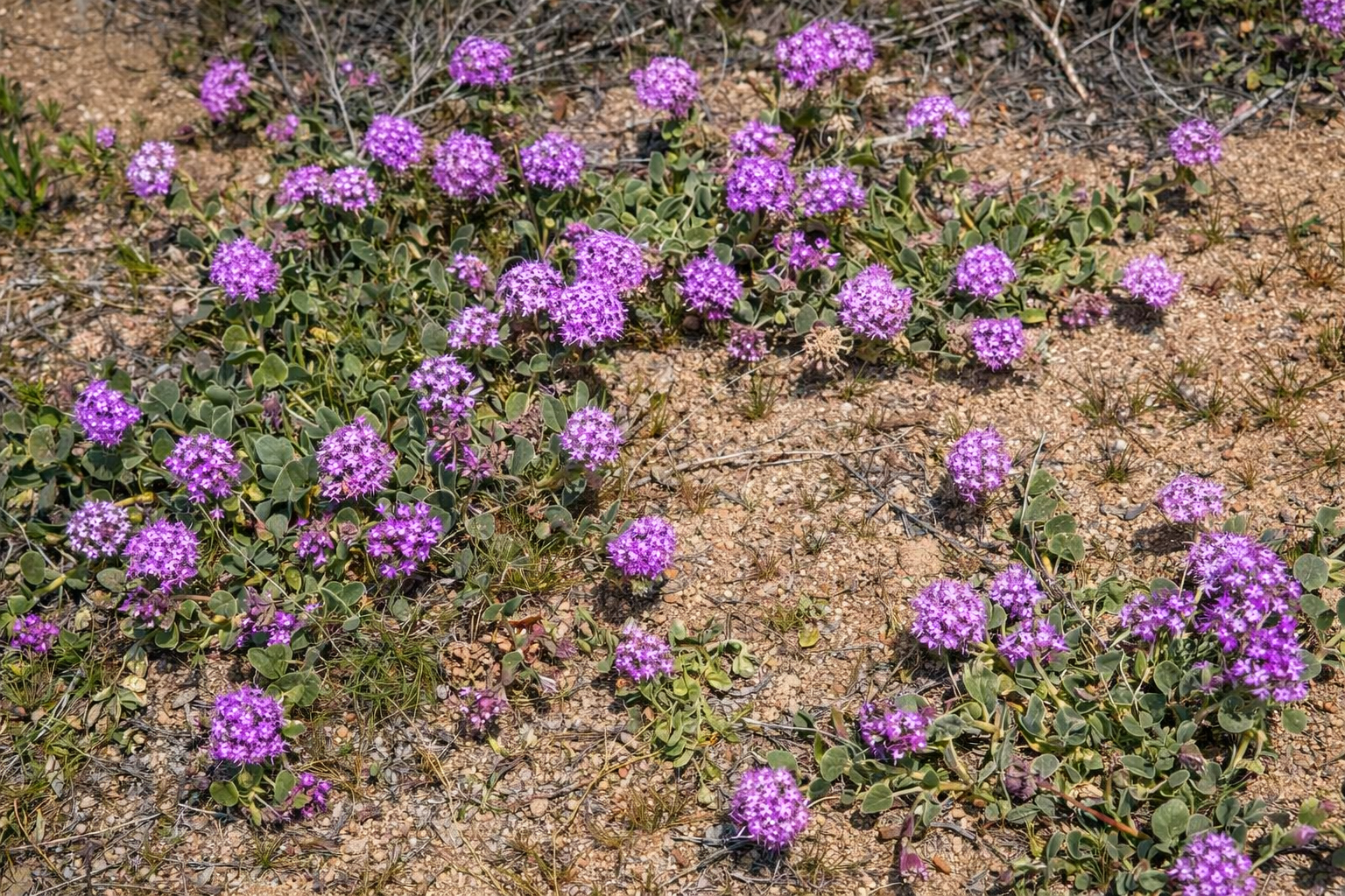
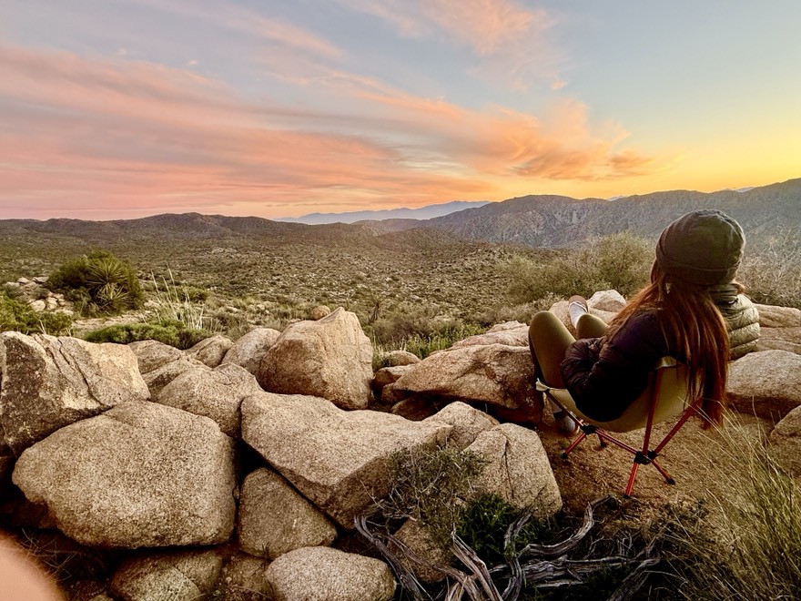
The trail continued to climb steeply through Manzanita and scrub brush. A few more turns on the trail and I was crossing over a pass I dubbed, “Stanford Pass”. It was to be my first flat and slightly downhill pitch of trail and my legs responded positively! Here I spotted some lingering snowfields just off trail. My plan was to camp at Stanford Point, and the topo did not show any water sources, so when I crossed Meadow Brook creek, I filled up my two water bottles and two liter Hydrapak. There was a long log crossing to avoid getting wet, but once I completed this obstacle, I knew I was only a half mile to my destination, Stanford Point. A short time later, I went off trail, through the clearing, and for the first time in a few hours, I could see the entire Yosemite Valley in front of me. But this time, it was also below me. I was standing at 6800′ in elevation. Directly across from me was Ribbon Falls and El Capitan. I could make out Half Dome and Clouds Rest. But even more impressively, I could see Echo Peak all the way in Tuolumne Meadows. There was not a cloud to be seen the the sky was a dark blue. I took off my backpack and sat down, soaking in what seemed to be to good to be true.