They Choose The Path Where No One Goes… -Led Zeppelin

Sierra Point. Sierra Point. Sierra Point. I was haunted by Sierra Point. I’ve been coming to Yosemite for over 30 years. Besides the large crowds, I love pretty much everything about the place. I also love the history of the place. I’ve read many books and tried to visit many of the locations I’ve learned about. The apple trees? The Hutchinson Hotel sight? Seen them. And then I watched a YouTube video a few years ago about a place called Sierra Point. It is allegedly the only place in Yosemite Valley where you can see the five major waterfalls (I know there’s a billion of them in the spring), Illouette, Upper and Lower Yosemite, Vernal, and Nevada Falls, all from the same spot. I learned in the 1970’s a large rock slide occurred, completely wiping out the trail. The trail has remained entombed ever since then. However, the giant rock, perched on a cliff, 900′ above the Merced River with the piped guard railing that is Sierra Point is still there. I knew I needed to go see it and experience it.
In October, 2023, a friend and I camped in Upper Pines campground and attempted Sierra Point for the first time. I don’t think we really understood the endeavor ahead of us, and after 30 minutes of scrambling over rocks, boulders, and brush, we cliffed out, and called it a day. We retreated in temporary defeat. Sierra Point won this battle but I was determined to win the war.
On February 26, 2025, newly retired, and not much on my plate for the day, I decided to wake up early and drive to Yosemite for the day. My goal was Sierra Point. This time I was armed with CalTopo map, the proper mindset, fitness, and determination. I pulled into the wilderness parking lot south of Curry Village by 9am, and was quickly on trail. I had checked the snow levels, and Sierra Point was snow free. The weather was brisk, but would warm up to about 50. And as if Mother Nature was calling me to do this, the weather app said this would be the only clear day in Yosemite Valley this week.
There were minimal people walking on the road to Happy Isles, where the world famous Mist Trail starts. As I passed the sign marking the beginning of the John Muir Trail, I know my turn off is close. There is an informational sign, in a pile of large rocks, titled “Rock Piles”. This was my turn off. I quickly climbed into the sea of rocks and was greeted with two options. Left, to continue up the rocks or right to go into a sea of brush. Last time we went left. This time I went right. This was the correct way, as I made very quick work climbing, and was soon at a large rock wall that I would climb, paralleling it’s north face. I worked my way up, slow and steady. Many times it was two steps forward, one step back, because it was loose dirt, slippery, unstable rocks, and dried leaves. There were plenty of Bay Trees and small scrub Oaks that I was able to grab onto their trunks or branches and pull myself up. This went on for about 30 minutes.

Soon I was climbing up a granite wall. It was definately Class II, but I made quick work of it. When I was half way up, I encountered a bigger wall. This was also Class II, but by definition, would prove to be Class III because if I fell, I would definately have broken bones, if not worse. The rocks were slippery from small gravel and dried leaves, but I worked my way up it and was soon on top. I hadn’t given one thought of the “fun” it would be going down it (more to come later). After a few switchbacks, I was now on the original trail. There were steps leading up trail, and the rockwork had stood the test of time. The rock stairs were everywhere, steep, and rather haunting. I really wish I could find photographs and read about the original trail. I couldn’t help but think of how many people climbed this trail 50-75 years ago.

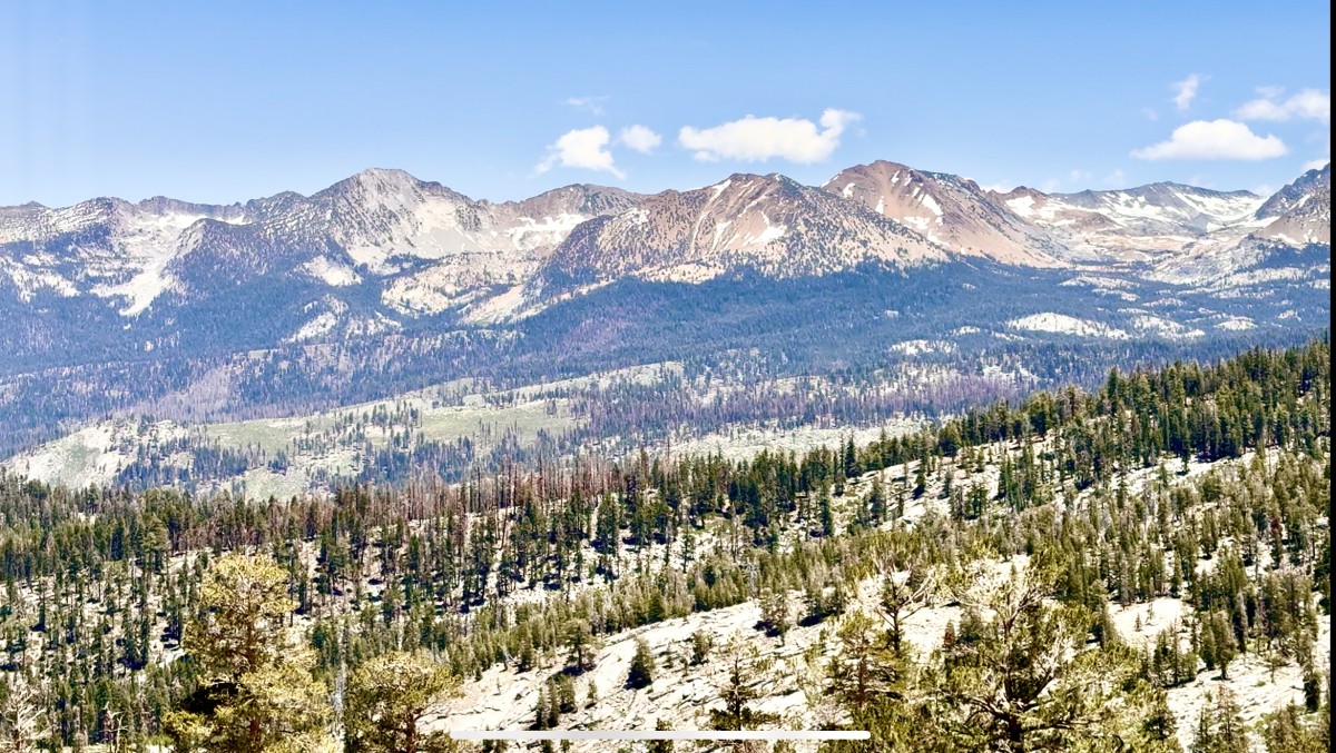
Finally the trail topped out and I could walk about 100 yards on flat trail, actually even going down a little bit. I looked up and saw my first view of Illouette Falls, hidden in Illouette canyon. You cannot see the falls from the valley. I backpacked thru here a few years ago when I took off from Glacier Point. After a quick video of the falls, I kept moving, and soon the trail cleared, there were some large boulders with the sun shining down on them, and I was there. Sierra Point! I yelled out, “I made it” to no one in particular. I walked to the ledge and looked down, and there was the platform, in all its glory. I was by myself. In a world famous National Park, known for overcrowding, I was in a spot, looking at some of the most spectacular landmarks this park has to offer, and I was by myself. I scrambled down to the platform. It was not for the faint of heart. The pipe ledges were a little loose and it is a sheer, straight drop all the way down. There were no ledges. It literally was straight down. I could make out the Merced River and parts of the Mist Trail. There were numerous hikers walking up to Vernal Falls, completely oblivious to me, standing 1000′ above them. I took some pictures and videos and sat down and had a snack of a Cliff Bar and some cola bottles. The sun was shining, the sky was blue, and I was literally on a natural high.


It is said that Sierra Point was John Muir’s favorite destination in the valley, although I cannot find any cooberating evidence to prove that. But it’s easy to understand why.
After about a half hour or so at the point, I began my descent. The climb down was gnarly, exposed, and at times, flat out dangerous. A few times I was on my butt, dangling my feet precariously down to the next rock. Other times, I had my back to the trail, with both hands and feet being used to work my way down. There were many slips and a few times I fell. But I was unscathed. The rock wall I climbed earlier was frightening and I took my time. But I got down it. I found a cairn marking a different way down than I had climbed up. I took that route, only because it wasn’t as steep and seemed doable. There was a down bay tree I needed to step on to navigate around a large rock. I put my left shoe on it, and not realizing how slippery the bark was, I went right off it and landed on my back. Luckily, my backpack absorbed the blow and I just sat there for a second and gathered my thoughts. I continued down when I realized some of this looked familiar. It was then that I knew this was the way I first tried to climb it in 2023. That was our mistake. We should have went right at the beginning. I was soon in a sea of giant rocks from the original rock fall. I carefully navigated around the bus sized boulders, dropped down into areas between the rocks, and soon I could see the concrete of the Mist Trail below me. After a few final moves, I was down and safe! Sierra Point was conquered!

I quickly made my way back to my car, got out of my sweaty clothes and changed into some clean comfortable ones. I drove over to Curry Village, ordered a pizza, grabbed a Diet Pepsi from the village store and took the food to El Capitan Meadow, where I pulled out my zero gravity chair, leaned back, ate pizza, and looked up at the giant granite wall admiring numerous people at various elevations on the rock, climbing to the top. The sun felt great and I soon was asleep in my chair. After a quick nap, I packed up and began the drive hime.

Earlier that day, I watched sunrise in the east as I made my way to Yosemite. 10 hours later, I was driving home, and I watched the sun set in the west. It was an epic day, and in between the sun rising and setting was one of my best days in Yosemite!